turkiye_cartogram
Türkiye Kartogram Nüfus Haritası | Turkey Cartogram Population Map
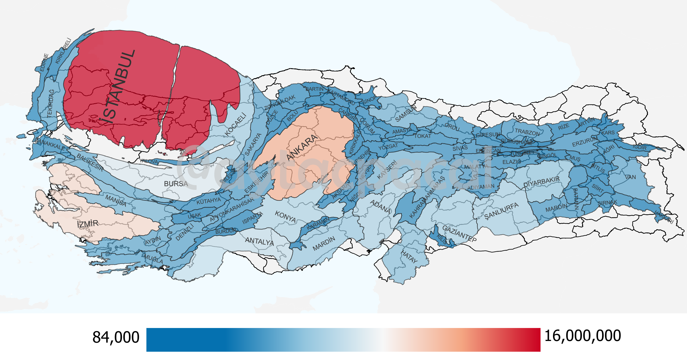
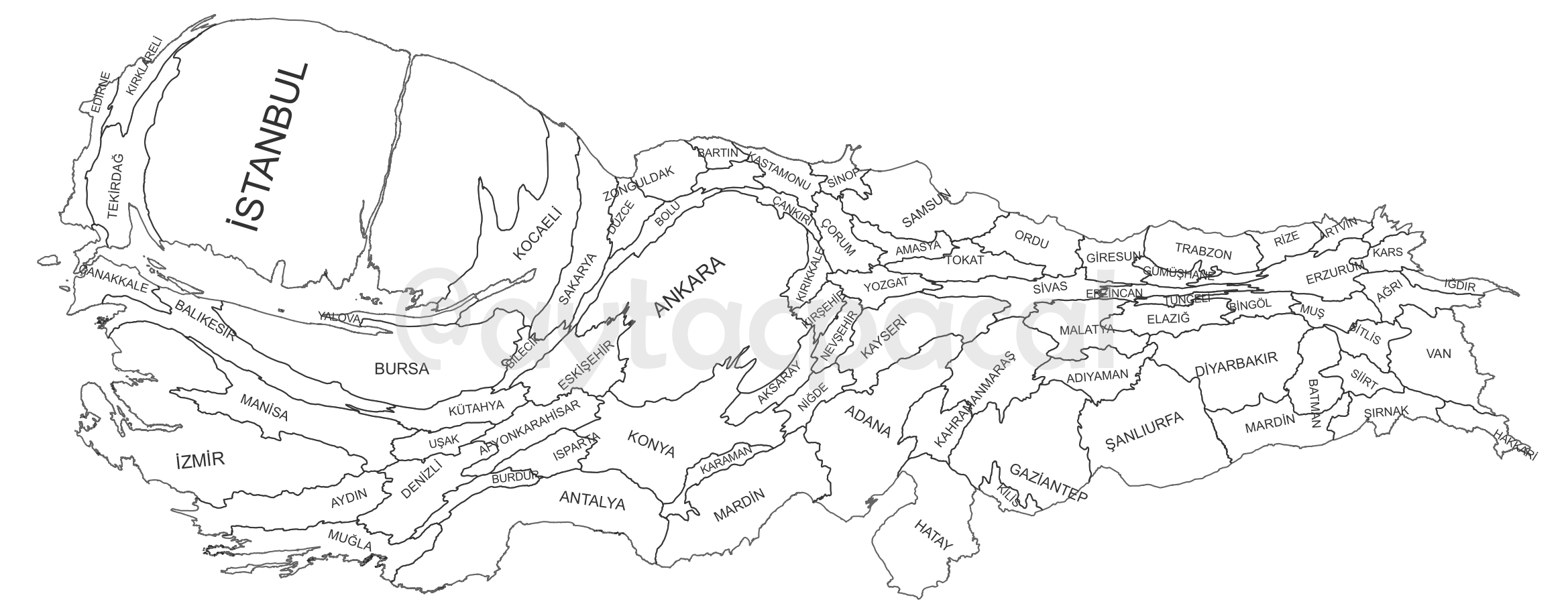
Bu repository, Türkiye’nin illerinin nüfusa göre boyutlandırılmış haritalarını içerir. Türkiye İstatistik Kurumu’nun adrese dayalı nüfus sisteminden alınan 2022 yılı nüfus verileri kullanılmıştır. Kartogram haritalar ScapeToad ve QGIS programları kullanarak Humdata sitesinden alınan orijinal Türkiye shapefile dosyaları üzerinde oluşturulmuştur.
This repository contains city maps of Turkey that have been drawn based on population data. The population data used in the maps are from the address-based population registration system of the Turkish Statistical Institute for 2022. The cartogram maps were created using ScapeToad and QGIS software on the original Turkey shapefile files that were obtained from Humdata.
Kullanım
Bu repoyu klonlayarak veya indirerek kullanabilirsiniz. Daha sonra nüfus_boyutlu.shp dosyasını QGIS uygulamasıyla açabilirsiniz.
Usage
You can use this repo by cloning or downloading it. Then you can open nüfus_boyutlu.shp file with QGIS.
Lisans
Bu çalışma CC-BY-4.0 lisansı ile lisanslanmıştır. Bu lisansın detayları için bu bağlantıyı kullanabilirsiniz.
Licence
This work is licensed under the CC-BY-4.0 licence. You can use this link for details of this licence.